Trail work, pinned to the mile.
Every blowdown, washout and loose water bar becomes a work order on the trail map, logged by your crew from the field with no signal needed.
- Works offline past the trailhead
- Free for crews of five or fewer
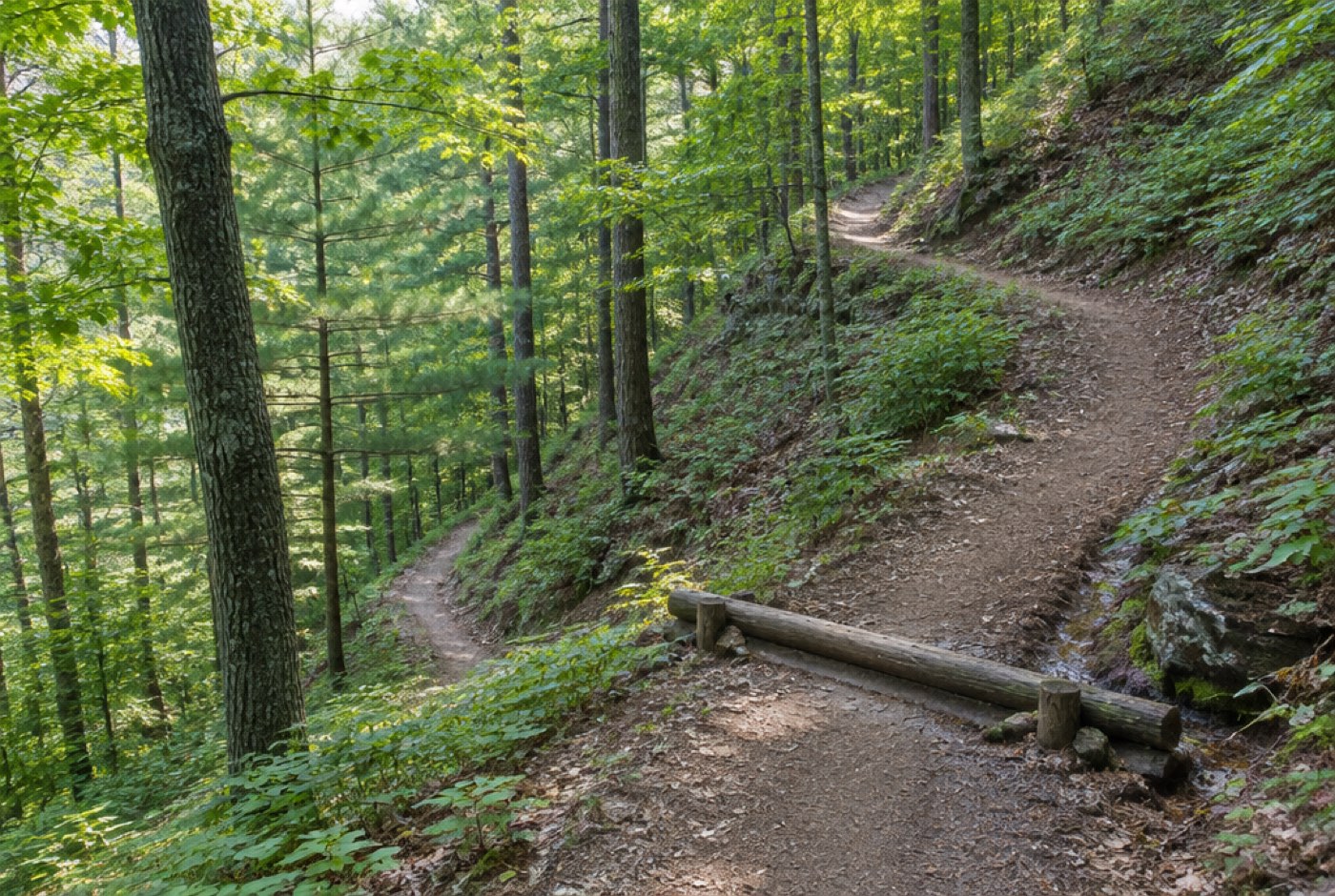
Mile 4.2 cleared 11:40 AM MT
Work orders
Ridge Loop · this week
Trail crews in 23 state park systems plan their season in Switchback
- Caddo Bluffs
- Tall Aster Parks
- Greyrock Trails
- Ochre Fork
- Quillback
- Lantern Creek
Planning
The whole trail system, one backlog
Reports from rangers, volunteers and hikers land on the map at the mile they came from. Supervisors sort by severity and hand each crew a week that makes sense on foot.
- Cleared 3.1 mi
- Scheduled 2.3 mi
- Open 2.4 mi
- Every report on the map
- Hiker reports, ranger notes and crew findings drop onto the trail at their mile, colored by what is cleared, scheduled or still open.
- Mi 2.1 · Water bar reset
- Mi 2.9 · Drainage dip cleaned
- Mi 3.4 · 2 photos attached
- Offline first, always
- Logs wait on the phone and send themselves when a bar of signal returns.
- 62 May
- 51 Jun
- 43 Jul
- 29 Aug
- 18 Sep
- A backlog you can shrink
- Open orders by month and by trail, so the budget meeting sees what one more crew would clear.
Ridge Loop Trail Mi 0.0 – 7.8
Waiting to sync
3Sends at the trailhead
Open orders by month
Down 71% since May
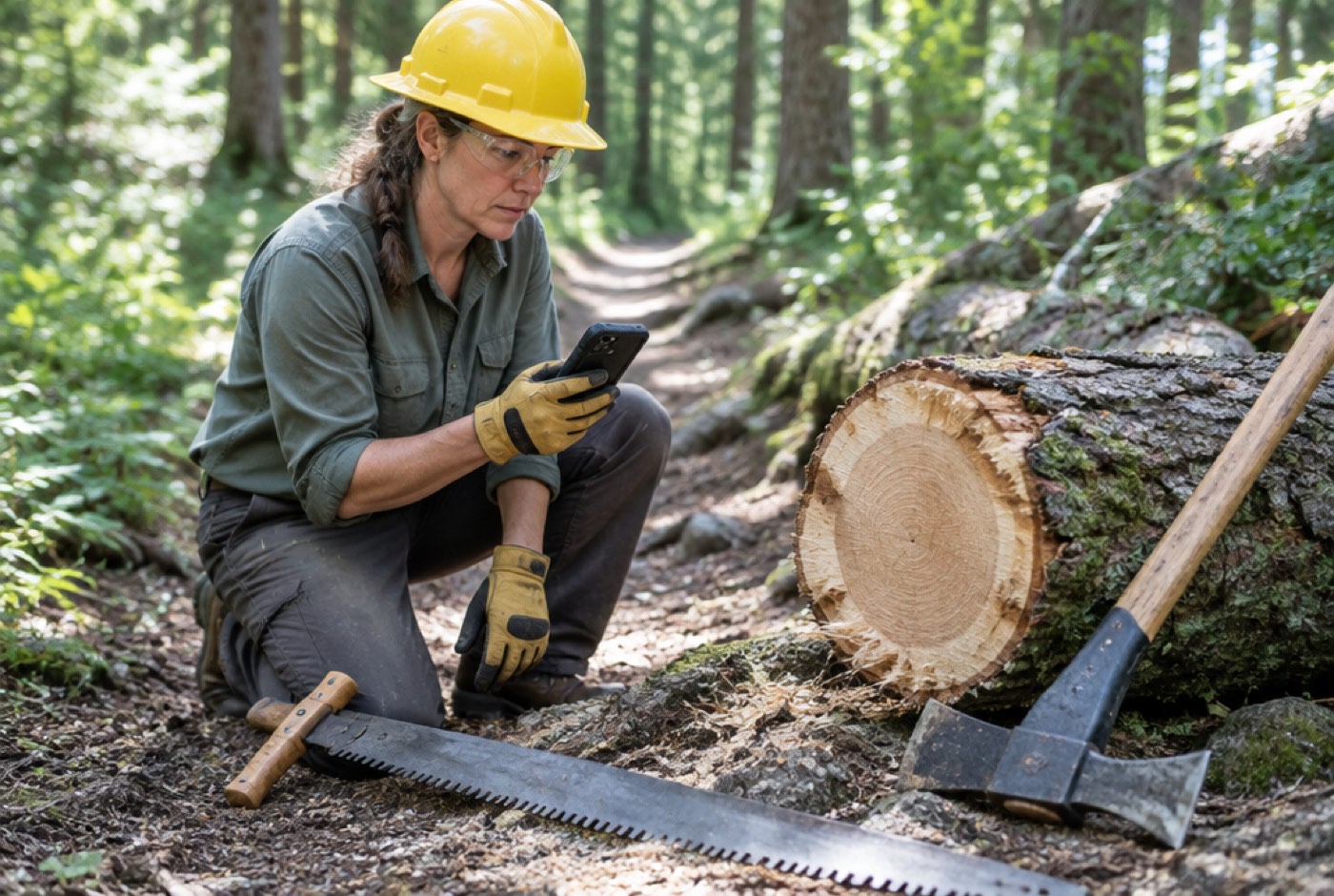
Field log
Mile 4.2
Blowdown, 18 in. red oak. Bucked and cleared off the tread.
Crosscut saw · 2 crew
1.5 crew hours
Synced 11:42 AM MT
Logged where the work happens
Crews close a work order with a photo, the tools used and crew hours before they walk to the next mile. Switchback keeps it on the phone and sends it when a bar of signal comes back.
- Offline by default
- Maps, orders and forms download with the week’s plan, so a dead zone never stops a log.
- Photos pinned to the mile
- Before and after shots attach to the order and its mile, not somebody’s camera roll.
- Hours that add up
- Crew and volunteer hours roll into the grant report without a spreadsheet.
From a hiker’s report to cleared tread
Three steps, and the first one takes an afternoon. No GIS team, no new radios.
-
01
Bring in your trails
Upload a GPX file or trace the route, and Switchback sets a mile marker every tenth of a mile.
About 20 minutes a trail
-
02
Plan the week on the map
Drag open orders into a crew’s week. They group by trailhead, so nobody hikes the same mile twice.
Mondays at 7:00 AM
-
03
Close it from the trail
The crew logs the fix with a photo and hours. The order clears and the backlog updates for everyone.
Synced at the trailhead
Season to date · through Sep 12, 2026
What a season on Switchback adds up to
- 2,318 mi
- of state park trail mapped by mile marker
- 11 days
- median from a hiker’s report to a cleared blowdown
- 94%
- of work orders closed from the trail, not the office
- 6,470
- volunteer hours logged straight into grant reports
Crews who put the whiteboard away
Supervisors, crew leads and volunteer coordinators on what changed in their first season.
We used to hear about a washout from a hiker’s post online. Now it’s on the map at mile 3.1 before lunch, and a crew has it on Thursday’s list.

Jordan Kessling
District Trails Supervisor, Caddo Bluffs State Park
Volunteers log their hours on their own phones now. The grant report took an afternoon instead of two weeks.

Casey Morrow
Volunteer Coordinator, Greyrock Trails
No signal past the second switchback, and it doesn’t matter. Everything we logged was waiting when we got back to the truck.

Riley Abernathy
Trail Crew Lead, Ochre Fork State Park
Questions crews ask before the season
Something else? Write to us and a person who has swung a pulaski answers.
crews@switchback.appDoes it really work with no cell signal?
Yes. The week’s trails, orders and forms download to each phone before the crew leaves. Logs queue on the device and send the next time it finds a signal.
Can volunteers use it without a paid seat?
Volunteers join with a free field login that logs hours and photos on the orders they are assigned. They can’t edit the plan or see other districts.
How do we get our trails in?
Upload GPX or KML files, or trace a route over satellite imagery. Mile markers land every tenth of a mile and can be nudged to match the posts on the ground.
Will it export for grant reporting?
Crew and volunteer hours export by trail, date and funding source as a CSV. A one-page season summary for grant applications is one click.
What does it cost for a state park system?
Pricing is per district, starting at $1,480 a year with unlimited field logins. Most systems start with one district for a season.
Is our data ours?
Every trail, order and photo exports at any time. When a contract ends we hand over the full archive and delete our copy within 30 days.
Clear the spring backlog before Memorial Day
Bring one district’s trails in this week. Your crews log their first work order from the field on Monday.